
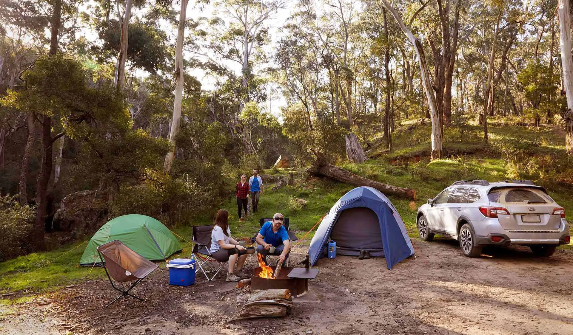

Three new national parks have officially joined Victoria’s map, bringing familiar forests, camping areas and walking tracks under new boundaries. Here’s where they are and what it means for your next trip.
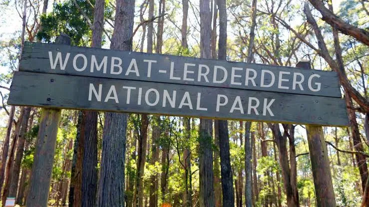
Wombat-Lerderderg, Mount Buangor and Pyrenees national parks were officially established on 5 October 2026, combining existing parks, state forest areas and conservation reserves.
For travellers, that brings fresh reasons to explore Victoria’s forest country – along with a few changes worth understanding before packing the van.
What’s actually new?
The national park classifications and boundaries are new. Many of the forests, tracks and camping areas within them have welcomed visitors for years.
The three parks form part of a broader expansion that transferred approximately 78,838 hectares of public land into Parks Victoria’s management, including conservation parks, regional parks and reserves.
The aim is to strengthen protection for natural and cultural landscapes while maintaining outdoor recreation. It isn’t an announcement of three newly built camping destinations.
Wombat-Lerderderg National Park
Where: Between Daylesford and Bacchus Marsh, within reach of Melbourne for a short break.
The largest of the three protects more than 44,000 hectares, joining the former Lerderderg State Park with substantial areas of Wombat State Forest.
Its centrepiece is the rugged Lerderderg River Gorge, but there’s much more beyond the steep valley walls: eucalypt forests, fern-filled gullies, riverside picnic areas and remnants of the region’s mining and forestry history.
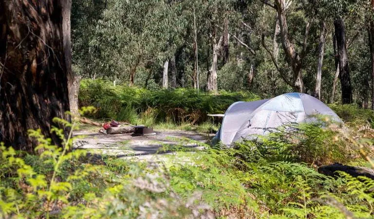
Parks Victoria lists camping at Amblers Lane, Balt Camp and Lerderderg Campground. For a day visit, Mackenzies Flat has toilets, picnic tables and electric barbecues.
Access deserves a close look before towing in. Some locations suit a different kind of camping trip: Amblers Crossing, for example, is accessible by 4WD or on foot only, in dry weather.
Park information, camping details and access updates | View location on Google Maps
Pyrenees National Park
Where: West of Avoca, in western Victoria.
Covering approximately 15,000 hectares, Pyrenees National Park brings together former state forest and the Landsborough and Landsborough Hill nature conservation reserves.
This is country for forest walks, ridgeline views and an unhurried stay among the eucalypts. The landscape includes rocky outcrops, seasonal waterways and habitat for the threatened Pyrenees Gum.
Camerons Track Campground and Waterfall Picnic and Camping Area are listed camping bases. The waterfall area sits in a scenic valley near seasonal Avoca Falls.
Walkers can choose shorter outings or investigate the more demanding Pyrenees Endurance Walk. Match the route to your fitness and experience, and check campground access separately if you’re bringing a caravan or camper trailer.
Park information, camping areas and visitor advice | View location on Google Maps
Mount Buangor National Park
Where: Between Beaufort and Ararat, near the Western Highway.
Mount Buangor National Park combines the former state park with adjoining parts of Mount Cole State Forest, protecting approximately 5,300 hectares.
Tall eucalypts, fern-filled gullies, waterfalls and mountain lookouts make this an appealing stop for travellers exploring western Victoria.
However, fire recovery closures remain in place following the February 2024 bushfire. At the time of writing, Middle Creek, Ferntree and Bailes campgrounds remain closed.
Parks Victoria lists the Ferntree visitor area and waterfall walking track among the open locations. The Beeripmo Walk is accessible through adjoining Mount Cole State Forest.
Check the park’s current notices before building an overnight stay around it.
Park information and current fire recovery closures | View location on Google Maps
What changes for campers?
Camping and touring continue, but the rules depend on the exact location.
Victoria travel update
Three New National Parks
Are Now On Victoria’s Map
Wombat-Lerderderg, Mount Buangor and Pyrenees national parks were officially established on 5 October 2026. The forests, walking tracks and camping areas are familiar, but the park boundaries and classifications are new — and there are a few touring changes worth knowing before your next trip.
The three new national parks were officially established on this date.
Approximately 78,838 hectares moved into Parks Victoria management as part of the broader expansion.
The classifications and boundaries are new. Many of the forests, tracks and camps have welcomed visitors for years.
What’s actually changed?
This is not the announcement of three newly built camping destinations. The aim is to strengthen protection for natural and cultural landscapes while maintaining outdoor recreation. For travellers, that means many familiar places remain visitable — but the rules now depend more clearly on the exact location within each new national park.
Wombat-Lerderderg National Park
Where: Between Daylesford and Bacchus Marsh, within easy reach of Melbourne.
- Size: More than 44,000 hectares.
- Highlights: Lerderderg River Gorge, eucalypt forest, fern gullies, picnic areas and mining and forestry history.
- Camping: Amblers Lane, Balt Camp and Lerderderg Campground.
- Day stop: Mackenzies Flat has toilets, picnic tables and electric barbecues.
- Access note: Some areas are not towing-friendly. Amblers Crossing is 4WD or walk-in only in dry weather.
Pyrenees National Park
Where: West of Avoca, in western Victoria.
- Size: Approximately 15,000 hectares.
- Highlights: Forest walks, ridgeline views, rocky outcrops, seasonal waterways and habitat for the threatened Pyrenees Gum.
- Camping: Camerons Track Campground and Waterfall Picnic and Camping Area.
- Walking: Shorter walks or the more demanding Pyrenees Endurance Walk.
- Access note: Match campground access to your van or camper trailer setup before you go.
Mount Buangor National Park
Where: Between Beaufort and Ararat, near the Western Highway.
- Size: Approximately 5,300 hectares.
- Highlights: Tall eucalypts, fern gullies, waterfalls and mountain lookouts.
- Open areas: Ferntree visitor area and waterfall walking track.
- Walking: Beeripmo Walk remains accessible through adjoining Mount Cole State Forest.
- Closure note: Middle Creek, Ferntree and Bailes campgrounds remain closed due to fire recovery.
What changes for campers?
Camping and touring continue, but permissions now need a closer look by location. Designated camping continues, some dispersed camping remains in former state forest areas, and dogs, fires and vehicle access all depend on the specific part of the new parks you are using.
Camping
Designated camping continues. Dispersed camping remains permitted in former state forest areas within the three new national parks, subject to local conditions.
Camping with dogs
Dogs on leads are permitted at designated campgrounds in former state forest areas. That permission does not apply to every campsite or every part of each park.
Driving and 4WD touring
Registered vehicles can continue using formed roads and tracks open to the public. Seasonal, maintenance and safety closures still apply.
Campfires
Campfires are permitted only in areas set aside for fires and only under the current conditions and restrictions.
Domestic firewood collection
No longer permitted within the new national parks.
Prospecting and fossicking
Not permitted within the new national parks. Some nearby regional parks, bushland reserves and state forests may still allow it under their own rules.
- Confirm your campsite is open and suits your van’s dimensions.
- Check the approach road suits your vehicle, including any clearance or 4WD requirements.
- Confirm booking requirements and fees for the specific campground.
- Check dog permissions if you are travelling with a pet.
- Review current fire restrictions, park alerts and closure notices.
- Use the official park pages and the Parks Victoria transition guide, not just a navigation app route.
Check the Parks Victoria transition guide and activity table for the arrangements applying to each park.


